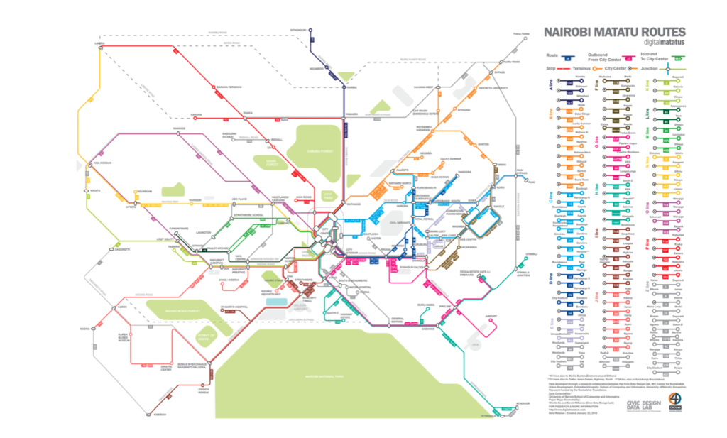
Digital Matatus is a collaborative public transport mapping project to leverage widespread cellphone usage in developing countries to collect data for essential infrastructure planning.
Tools and Features
- capture of open informal transit data of Nairobi
- mobile routing app
- free transit map
- developed a modified GTFS standard for informal transport
- tool for planning
Governance of Case
- spured out of a collaboration between the Center for Sustainable Urban Development of Columbia University, the Civic Data Design Lab and University of Nairobi (e.g. the C4D Lab)
Drivers for Open Mobility
Collaborative mapping of informal transit structures enables a more inclusive public transport everywhere and open data spures further digital developments to inform planning and to improve mobility services.
