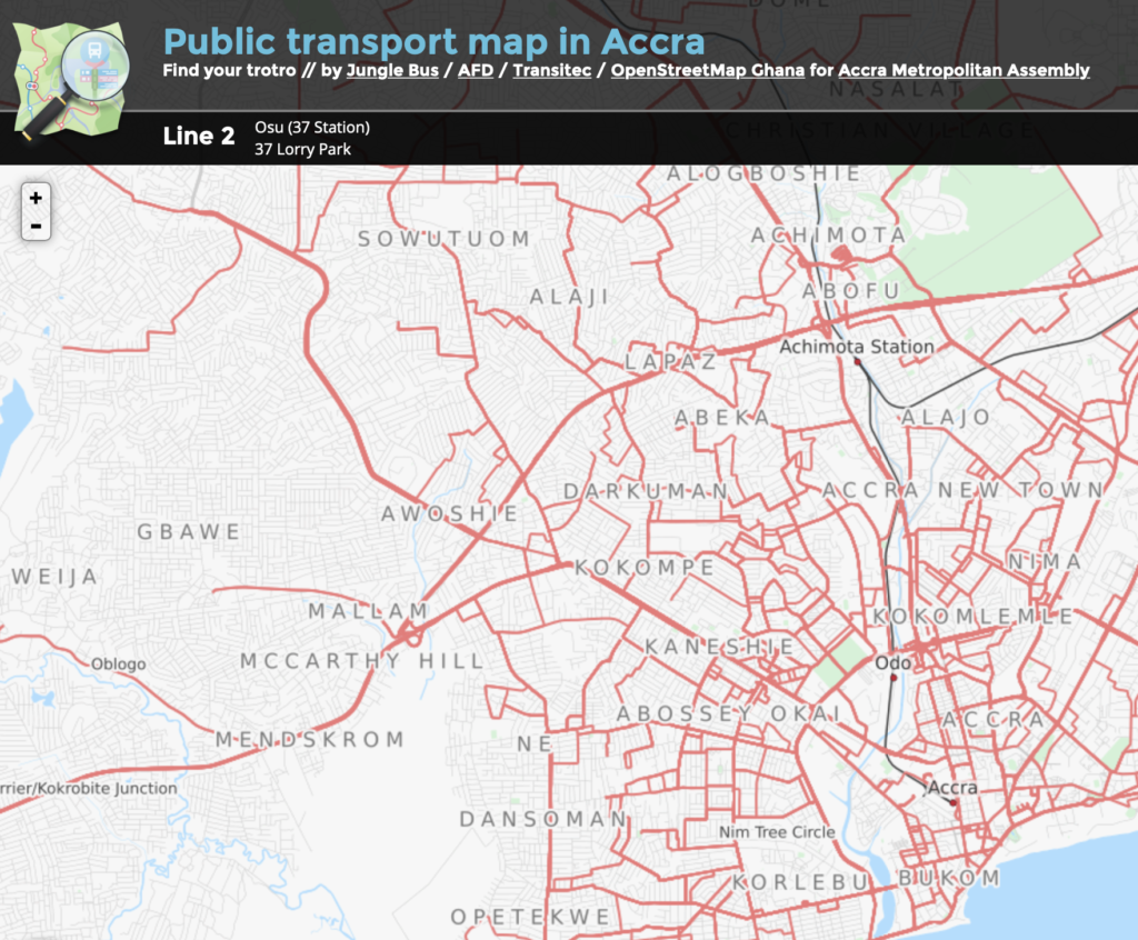
JungleBus is an initiative to improve public transport data in OpenStreetMap (OSM) through developing open mapping tools for local communities thus producing a shared base to facilitate collaboration between public and private stakeholders.
Tools and Features
- JungleBus mobile app for simple mapping of bus stops on the ground
- developments and improvements of OSM tools related to public transport
Governance of Case
- not-for-profit association supported by various stakeholders such as AFD (French Development Agency), OpenStreetMap France, Kisio Digital and FabMob
Drivers for Open Mobility
- open source software and crowdsourced open data
- co-constructed, tested and shared with the OSM community, easy-to-use and multi-lingual
- inclusion of informal transport modes (paratransit)
