
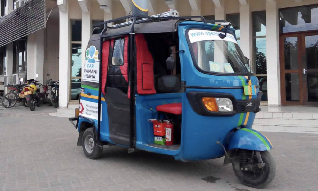
Ramani Huria is a project helping communities to map relevant features such as residential areas, roads, paratransit routes, streams and floodplains to bring disaster awareness, prevention and response to “off-the-map” areas.
Tools and Features
- training teams of local university students and community members to use OSM to create accurate, free and open maps of the city
- the maps are also combined with more data in the OS software InaSAFE for realistic natural disaster scenarios
Governance of the Case
The project is part of the Tanzania Urban Resilience Programme – a partnership between the UK’s Department for International Development (DFID) and the World Bank – and supported by the World Bank’s Global Facility for Disaster Reduction and Recovery, implementation is guided by the Humanitarian OpenStreepMap Team (HOT)
Open Mobility Drivers
Community-based mapping that creates crowdsourced data and open maps and helps humanitarian efforts as well as local development.